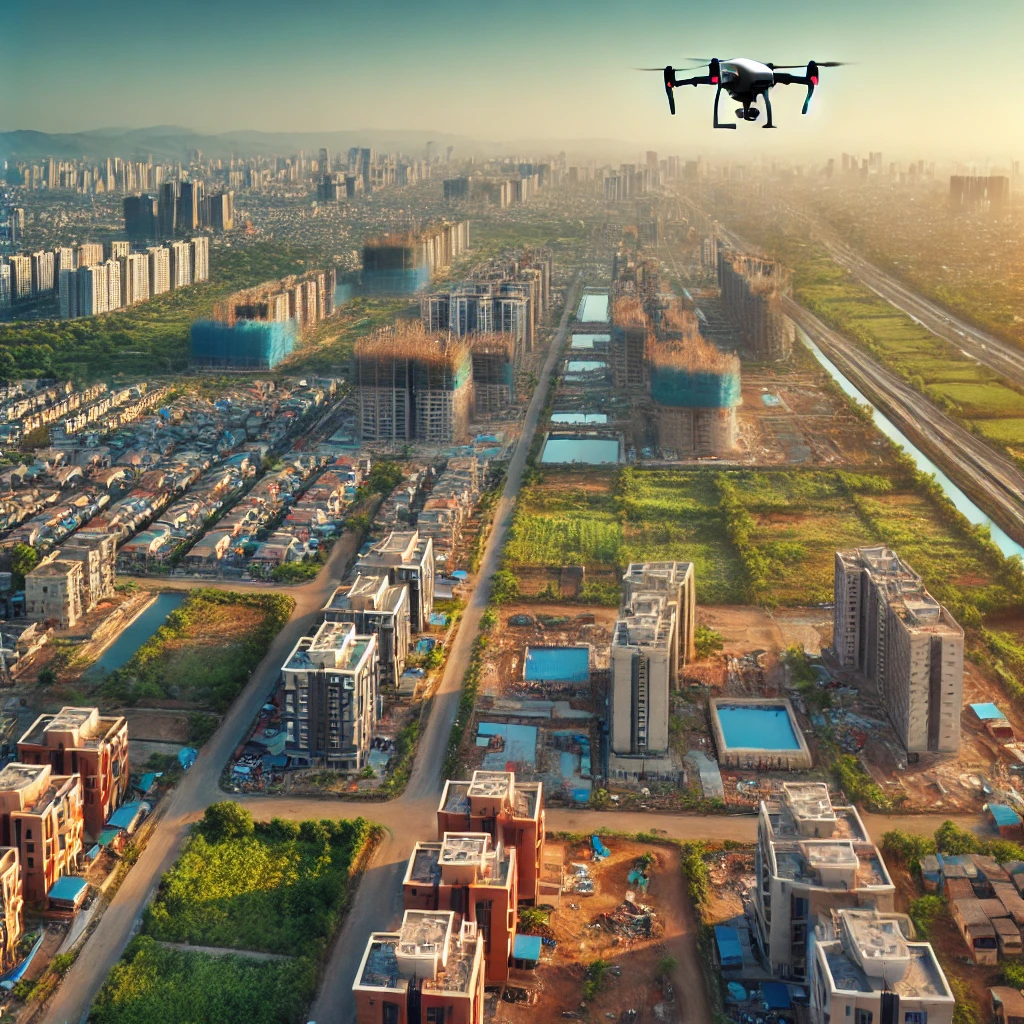
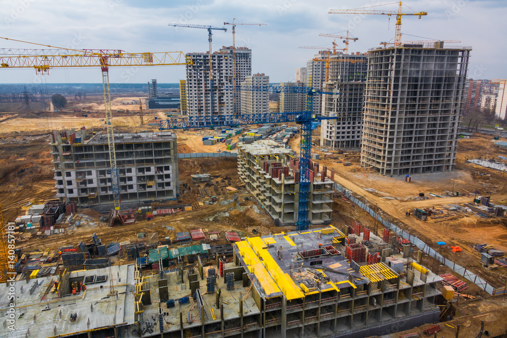
What We Do For You
We can inspire and Offer Different Services
We provide advanced drone land survey services, including high-resolution aerial mapping, 3D terrain modeling, orthophoto generation, volumetric analysis, and real-time data collection. Our technology delivers precise, efficient, and detailed survey results for all your project needs